DHS grant funding slashes preparedness - in favor of terrorism prevention
- John Cornelison
- March 1, 2012
Table of Contents
 The DHS recently released the FY 2012 guidance and application kits for seven grant programs that support the National Preparedness Goal. Grants total more than $1.3 billion, a reduction of nearly $1 billion from FY 2011 and $1.5 billion below the President Obama’s FY 2012 request. The DHS preparedness grants give priority this year to applicants in the nation’s highest-risk areas, including urban areas, with a focus on terrorism prevention. “Given the significant reduction in grant funding this year, we are maximizing limited grant dollars by setting clear priorities and focusing on the areas that face the greatest risk,” DHS Secretary Janet Napolitano said in a statement.
- Read full report at http://urgentcomm.com/policy_and_law/news/preparedness-grants-cut-20120229/


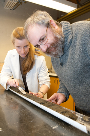 Understanding the size and frequency of large earthquakes along the Pacific coast of North America is of great importance, not just to scientists, but also to government planners and the general public. The only way to predict the frequency and intensity of the ground motion expected from large and giant "megathrust " earthquakes along Canada's west coast is to analyze the geologic record.